The Cherohala Skyway is 43 miles of two-lane road across the Unicoi Mountains, from Robbinsville, North Carolina, to Tellico Plains, Tennessee. On the map it is NC-143 on the Carolina side and TN-165 on the Tennessee side. Its eastern end starts at Santeetlah Gap, near the south shore of Lake Santeetlah, which makes it the lake's other great drive, the high and open counterweight to the tight curves of the Tail of the Dragon.
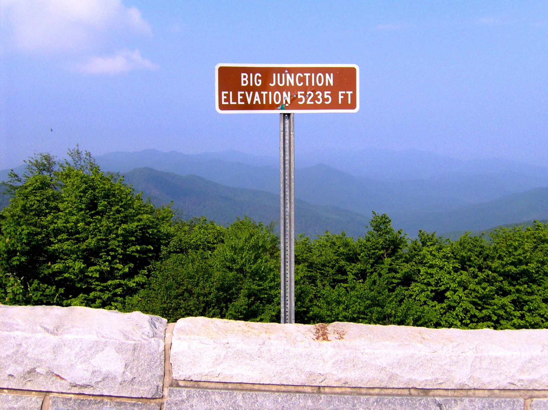
Everything about the Skyway is a study in contrast with the lake below. The lake sits at 1,932 feet. The Skyway climbs from about 900 feet in the valley to 5,390 feet at Santeetlah Overlook, the highest point on the route. The weather at the top is frequently not the weather you left.
A road that took 34 years and $100 million
The idea started as a joke, roughly. In 1958 the Kiwanis Club in Tellico Plains promoted the route with a wagon train stunt, a covered-wagon publicity trip meant to make the case that the two towns needed a road between them across the mountains. The case took a while to win. Construction ground on for about 34 years, through two national forests, at a total cost of around $100 million.
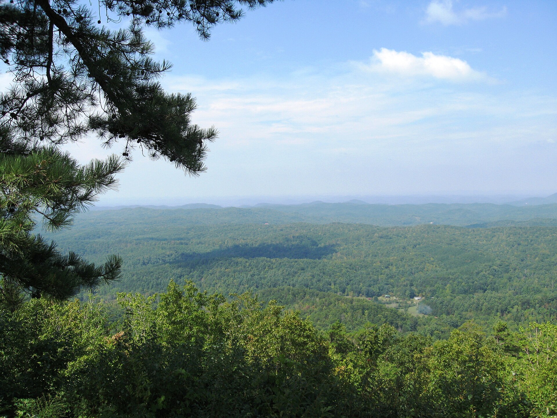
The Skyway opened on October 12, 1996. The name is a portmanteau of the two forests it crosses: Cherokee and Nantahala. It was built for looking, not commuting. There are 15 overlooks along the 43 miles, and on a clear day the higher ones show you range after range of the southern Appalachians, with the Smokies to the north.
The drive itself
Mile 0 on the North Carolina side is Santeetlah Gap. From there the road climbs in long sweepers past overlooks at increasing elevation, topping out at Santeetlah Overlook at 5,390 feet before beginning the long descent into Tennessee. The curves are wide and the grades are steady, the opposite geometry from the Dragon's switchbacks, and the riding is correspondingly different: less about precision, more about the view arriving in layers.
Allow about two hours for the full crossing with stops. It can be driven faster, but that misses the point of a road that took 34 years to build. Riders pairing it with the Tail of the Dragon usually run the Dragon first and finish here, ending the day on the bigger, calmer road.
Two stops worth the brakes
Between mile markers 7 and 8 on the North Carolina side, a half-mile trail climbs to Hooper Bald, a grassy summit at 5,429 feet. The balds are a southern Appalachian puzzle, high meadows where the surrounding ridges are all forest, and this one is an easy walk from the car. Near the far end, just before Tellico Plains, a short detour down River Road brings you to Bald River Falls, a drop of about 90 feet that passes under the road's bridge right where the Bald River meets the Tellico River. You view it from the bridge. No hike required, which makes it the friendliest waterfall in the area for anyone with limited mobility or limited patience.
No gas, no food, no restrooms: plan for it
This is the part of the guide to actually read twice. There are no services on the Skyway itself. No gas stations, no restaurants, no restrooms along the 43 miles. Fuel up in Robbinsville or Tellico Plains, carry water, and do not assume your phone will rescue a plan; coverage in these mountains is patchy at best.
The elevation cuts both ways. A summer afternoon at 5,390 feet can be 15 degrees cooler than the lake, which is pleasant, and a spring or fall day can turn suddenly cold, foggy, or icy at the top while the valley stays mild, which is not. Snow and ice close in on the high sections in winter well before anything happens at lake level. Check conditions before you commit to the crossing, especially between November and March.
Side trips on the North Carolina end
Near the Skyway's eastern end, a short detour takes you to the Joyce Kilmer Memorial Forest, where a 2-mile trail loops through tulip poplars that were already old when the Skyway was a wagon-train stunt. It pairs well with the drive: an hour among 400-year-old trees, then back up to the overlooks.
Keep reading
- Fall Color Around Lake Santeetlah: Peak Timing by Elevation and a Drive That Climbs Through All of It
- Moonshiner 28: NC-28 from Deals Gap Past Fontana Lake to Bryson City
- Graham County Chamber: scenic roadways
Common questions
How long is the Cherohala Skyway?
43 miles, from Robbinsville, North Carolina (NC-143) to Tellico Plains, Tennessee (TN-165). Plan on about two hours with stops at the 15 overlooks.
Is there gas on the Cherohala Skyway?
No. There is no gas, food, or restrooms anywhere on the 43 miles of the road itself. Fuel up in Robbinsville or Tellico Plains before you start.
What is the highest point on the Cherohala Skyway?
Santeetlah Overlook, at 5,390 feet. The road climbs from about 900 feet at its low end, so conditions at the top can be far colder and windier than at Lake Santeetlah.